qgsmaptoolselectutils.h File Reference
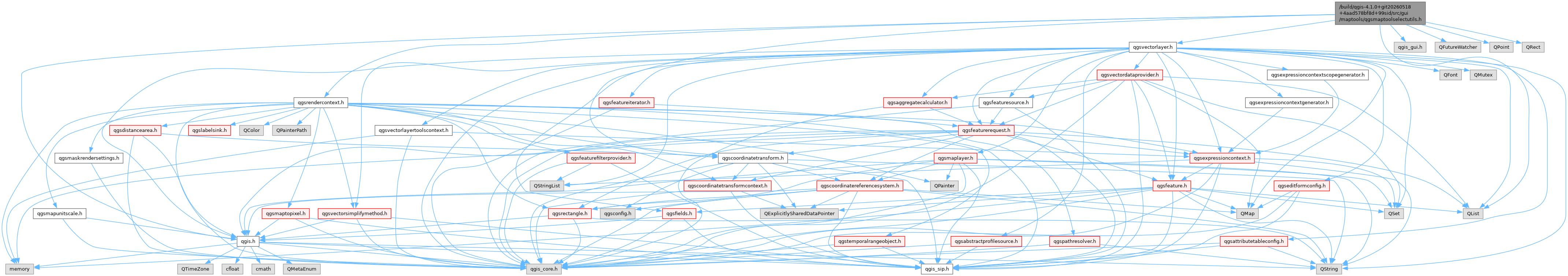
#include "qgis.h"#include "qgis_gui.h"#include "qgscoordinatetransform.h"#include "qgsrendercontext.h"#include "qgsvectorlayer.h"#include <QFutureWatcher>#include <QList>#include <QPoint>#include <QRect>
Include dependency graph for qgsmaptoolselectutils.h:
This graph shows which files directly or indirectly include this file:
Go to the source code of this file.
Classes | |
| class | QgsMapToolSelectUtils::QgsMapToolSelectMenuActions |
| Handles actions which can be displayed in a context menu related to feature selection. More... | |
Namespaces | |
| namespace | QgsMapToolSelectUtils |
| The QgsMapToolSelectUtils namespace containing methods which are useful for the select maptool widgets. | |
Macros | |
| #define | SIP_NO_FILE |
Functions | |
| QgsRectangle GUI_EXPORT | QgsMapToolSelectUtils::expandSelectRectangle (QgsPointXY mapPoint, QgsMapCanvas *canvas, QgsMapLayer *layer) |
| Expands a point to a rectangle with minimum size for selection based on the layer. | |
| QgsMapLayer * | QgsMapToolSelectUtils::getCurrentTargetLayer (QgsMapCanvas *canvas) |
| Get the current selected canvas map layer. | |
| QgsFeatureIds | QgsMapToolSelectUtils::getMatchingFeatures (QgsMapCanvas *canvas, const QgsGeometry &selectGeometry, bool doContains, bool singleSelect) |
| Calculates a list of features matching a selection geometry and flags. | |
| void | QgsMapToolSelectUtils::selectMultipleFeatures (QgsMapCanvas *canvas, const QgsGeometry &selectGeometry, Qt::KeyboardModifiers modifiers) |
| Selects multiple matching features from within currently selected layer. | |
| void | QgsMapToolSelectUtils::selectSingleFeature (QgsMapCanvas *canvas, const QgsGeometry &selectGeometry, Qt::KeyboardModifiers modifiers) |
| Selects a single feature from within currently selected layer. | |
| void GUI_EXPORT | QgsMapToolSelectUtils::setRubberBand (QgsMapCanvas *canvas, QRect &selectRect, QgsRubberBand *rubberBand) |
| Sets a QgsRubberband to rectangle in map units using a rectangle defined in device coords. | |
| void | QgsMapToolSelectUtils::setSelectedFeatures (QgsMapCanvas *canvas, const QgsGeometry &selectGeometry, Qgis::SelectBehavior selectBehavior=Qgis::SelectBehavior::SetSelection, bool doContains=true, bool singleSelect=false) |
| Selects the features within currently selected layer. | |
Macro Definition Documentation
◆ SIP_NO_FILE
| #define SIP_NO_FILE |
Definition at line 30 of file qgsmaptoolselectutils.h.
Generated on for QGIS API Documentation by