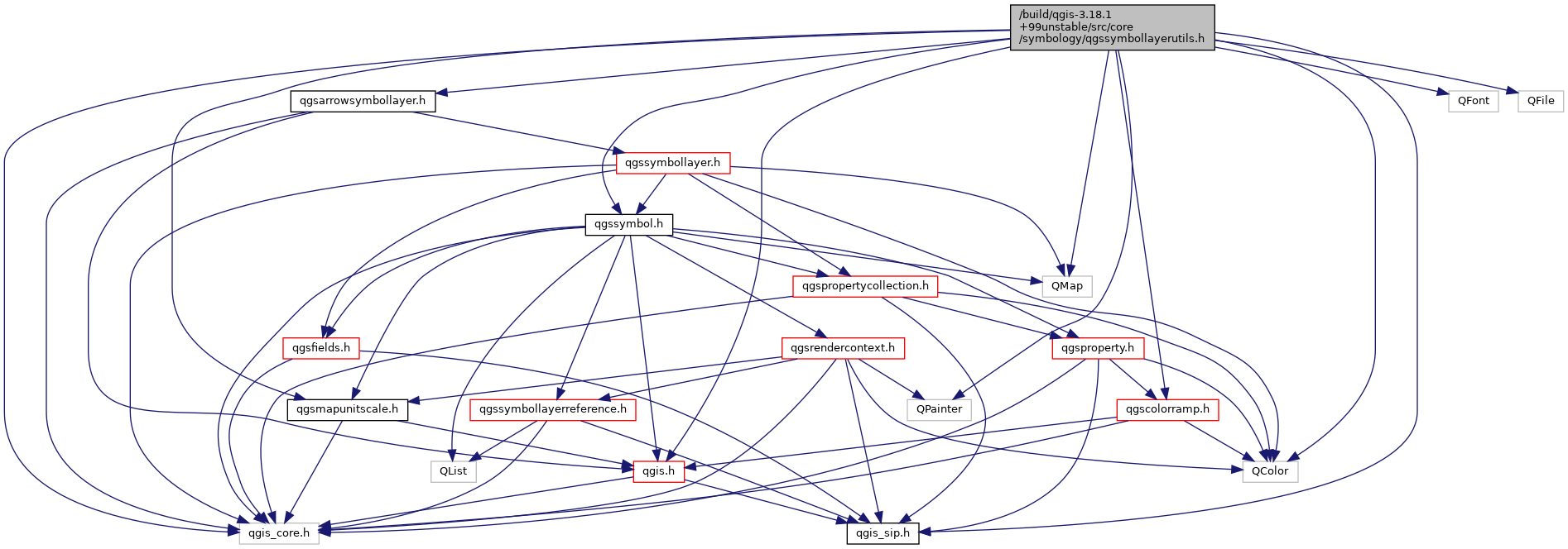
#include "qgis_core.h"#include "qgis_sip.h"#include <QMap>#include <QFont>#include <QColor>#include <QPainter>#include "qgssymbol.h"#include "qgis.h"#include "qgsmapunitscale.h"#include "qgscolorramp.h"#include "qgsarrowsymbollayer.h"#include <QFile>
Include dependency graph for qgssymbollayerutils.h:

Go to the source code of this file.
Classes | |
| class | QgsSymbolLayerUtils |
Typedefs | |
| typedef QList< QPair< QColor, QString > > | QgsNamedColorList |
| typedef QMap< QString, QString > | QgsStringMap |
| typedef QMap< QString, QgsSymbol * > | QgsSymbolMap |
Functions | |
| QList< QPolygonF > | offsetLine (QPolygonF polyline, double dist, QgsWkbTypes::GeometryType geometryType) |
| calculate geometry shifted by a specified distance More... | |
Typedef Documentation
◆ QgsNamedColorList
| typedef QList< QPair< QColor, QString > > QgsNamedColorList |
Definition at line 41 of file qgssymbollayerutils.h.
◆ QgsStringMap
| typedef QMap<QString, QString> QgsStringMap |
Definition at line 39 of file qgssymbollayerutils.h.
◆ QgsSymbolMap
| typedef QMap<QString, QgsSymbol * > QgsSymbolMap |
Definition at line 40 of file qgssymbollayerutils.h.
Function Documentation
◆ offsetLine()
| QList<QPolygonF> offsetLine | ( | QPolygonF | polyline, |
| double | dist, | ||
| QgsWkbTypes::GeometryType | geometryType | ||
| ) |
calculate geometry shifted by a specified distance
Definition at line 995 of file qgssymbollayerutils.cpp.