|
QGIS API Documentation
2.0.1-Dufour
|
All Classes Namespaces Files Functions Variables Typedefs Enumerations Enumerator Properties Friends Macros Groups Pages
|
QGIS API Documentation
2.0.1-Dufour
|
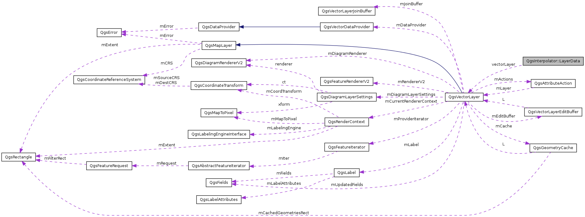
A layer together with the information about interpolation attribute / z-coordinate interpolation and the type (point, structure line, breakline) More...
#include <qgsinterpolator.h>

Public Attributes | |
| QgsVectorLayer * | vectorLayer |
| bool | zCoordInterpolation |
| int | interpolationAttribute |
| InputType | mInputType |
A layer together with the information about interpolation attribute / z-coordinate interpolation and the type (point, structure line, breakline)
Definition at line 48 of file qgsinterpolator.h.
| int QgsInterpolator::LayerData::interpolationAttribute |
Definition at line 52 of file qgsinterpolator.h.
| InputType QgsInterpolator::LayerData::mInputType |
Definition at line 53 of file qgsinterpolator.h.
| QgsVectorLayer* QgsInterpolator::LayerData::vectorLayer |
Definition at line 50 of file qgsinterpolator.h.
| bool QgsInterpolator::LayerData::zCoordInterpolation |
Definition at line 51 of file qgsinterpolator.h.
 1.8.1.2