qgselevationmap.h File Reference
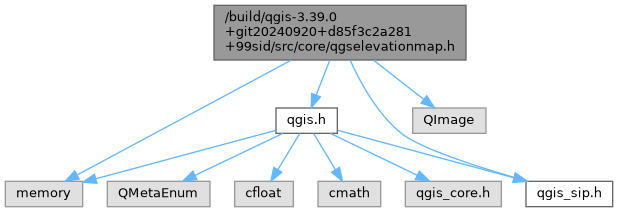
Include dependency graph for qgselevationmap.h:

This graph shows which files directly or indirectly include this file:

Go to the source code of this file.
Classes | |
| class | QgsElevationMap |
| Stores a digital elevation model in a raster image which may get updated as a part of the map layer rendering process. More... | |
Generated on for QGIS API Documentation by