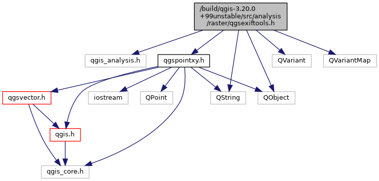
#include "qgis_analysis.h"#include "qgspointxy.h"#include <QObject>#include <QString>#include <QVariant>#include <QVariantMap>
Include dependency graph for qgsexiftools.h:

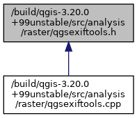
This graph shows which files directly or indirectly include this file:

Go to the source code of this file.
Classes | |
| class | QgsExifTools::GeoTagDetails |
| Extended image geotag details. More... | |
| class | QgsExifTools |
| Contains utilities for working with EXIF tags in images. More... | |