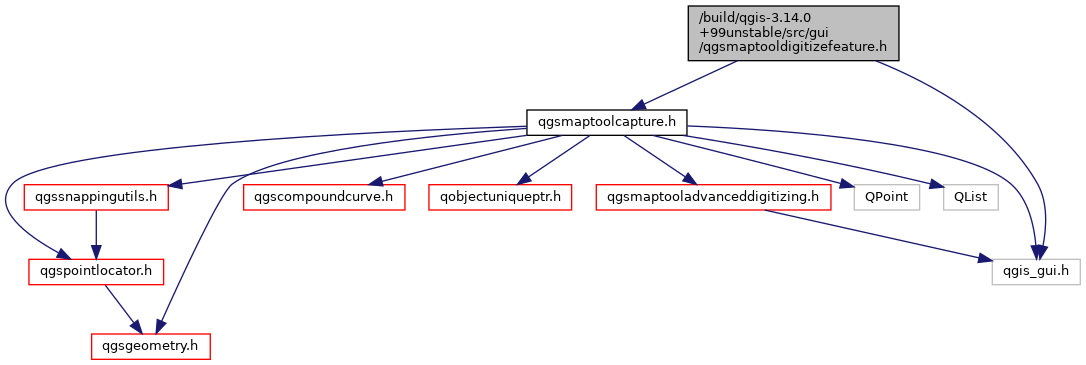
Include dependency graph for qgsmaptooldigitizefeature.h:

This graph shows which files directly or indirectly include this file:

Go to the source code of this file.
Classes | |
| class | QgsMapToolDigitizeFeature |
| This tool digitizes geometry of new point/line/polygon features on already existing vector layers Once the map tool is enabled, user can digitize the feature geometry. A signal will then be emitted. More... | |
 1.8.17